Louis C. Karpinski map collection
- ASM0309
- Colección
- 1694-1938
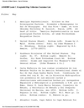
The Karpinski Map Collection contains maps from the Caribbean, the Southeast of the United States, the Mediterranean, Central America, and South America.
3 resultados directamente relacionados Excluir términos relacionados
Louis C. Karpinski map collection
The Karpinski Map Collection contains maps from the Caribbean, the Southeast of the United States, the Mediterranean, Central America, and South America.

Carlos Sanz was the author of several articles and books dealing with cartography and the discovery of the New World. The Sanz map collection includes 19 reproductions of maps and charts originally published between 1482 and 1598 by well known cartographers such as Mercator, Juan de la Cosa, Contarini, and Ptolemy. These maps form part of 50 items reproduced and published with a commentary by Sanz in his two volume work entitled Mapas antiguos del mundo: (siglos XV-XVI) (Madrid, 1962).
Purdy, Helen C. Map collection
The late Helen C. Purdy, professor emeritus and former head of the Archives and Special Collections Department, donated a variety of library materials following her retirement in 1991. This collection consists of maps of Florida and the West Indies.